AS FAST AS SAME DAY
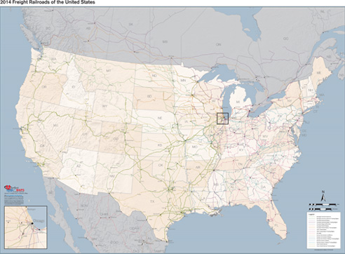
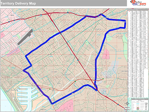
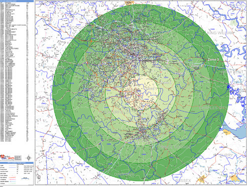
ZIP Code Maps for
Delivery & Logistics
Easily manage routes, reference territories and keep
your
deliveries ahead of schedule with custom ZIP Code maps.
deliveries ahead of schedule with custom ZIP Code maps.
Features Commonly Used on
Delivery & Logistics ZIP Code Maps
Delivery & Logistics ZIP Code Maps
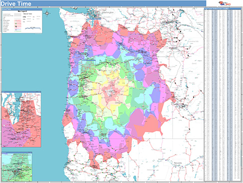
Radius Rings
Drive Time Polygons
Custom Colors and Themes
Street Level Detail
Drive Time Polygons
Custom Colors and Themes
Street Level Detail
Highways
All Streets
Waterways
Border Crossings
Up-to-Date and Accurate Levels of GeographyAll Streets
Waterways
Border Crossings
ZIP Code Boundaries
County Boundaries
State Boundaries
Custom Boundaries & Territories
LaminatedCounty Boundaries
State Boundaries
Custom Boundaries & Territories
Draw, write and erase directly on maps
Formats

Digital Maps
Any Size or Format
AI or PDF
Wall MapsAI or PDF
2x3 to 9x12 feet and larger
Laminated, Framed, Magnetic and more
Custom sizing available
Printed MapsLaminated, Framed, Magnetic and more
Custom sizing available
8.5x11 to 17x22 inches
Custom sizing available
Map BooksCustom sizing available
8.5x11 and 11x17 inches