AS FAST AS SAME DAY
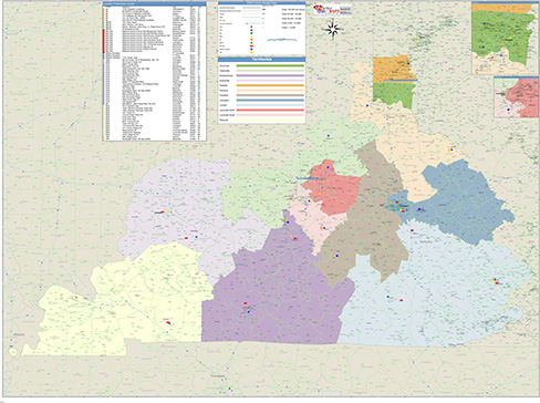
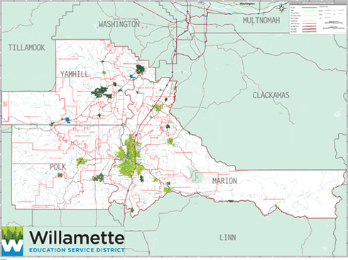
ZIP Code Maps for Education
Help your students explore geography, history
and navigation around the world with our educational
ZIP Code wall maps.
and navigation around the world with our educational
ZIP Code wall maps.
Features Commonly Used on
Education ZIP Code Maps
Education ZIP Code Maps
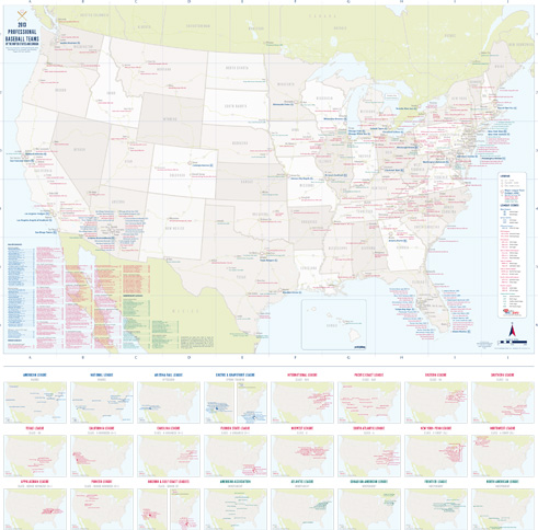
Variety of Geographies
Subjects
World
Country
USA
State
County
City
Custom Colors and ThemesCountry
USA
State
County
City
Subjects
Geography
History
Science
LaminatedHistory
Science
Draw, write and erase directly on maps
Formats

Digital Maps
Any Size or Format
AI or PDF
Wall MapsAI or PDF
2x3 to 9x12 feet and larger
Laminated, Framed, Magnetic and more
Custom sizing available
Printed MapsLaminated, Framed, Magnetic and more
Custom sizing available
8.5x11 to 17x22 inches
Custom sizing available
Map BooksCustom sizing available
8.5x11 and 11x17 inches